
Know where to focus.
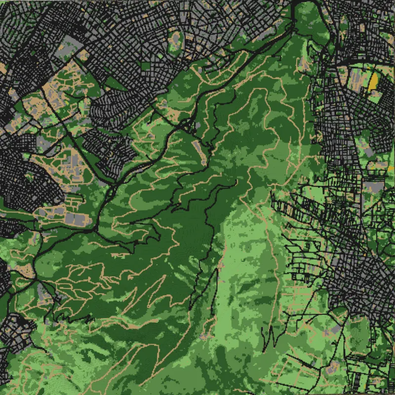
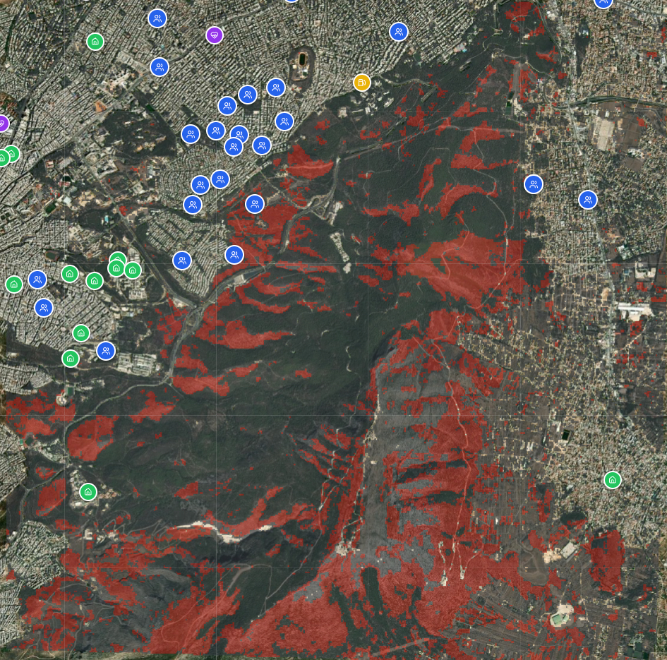
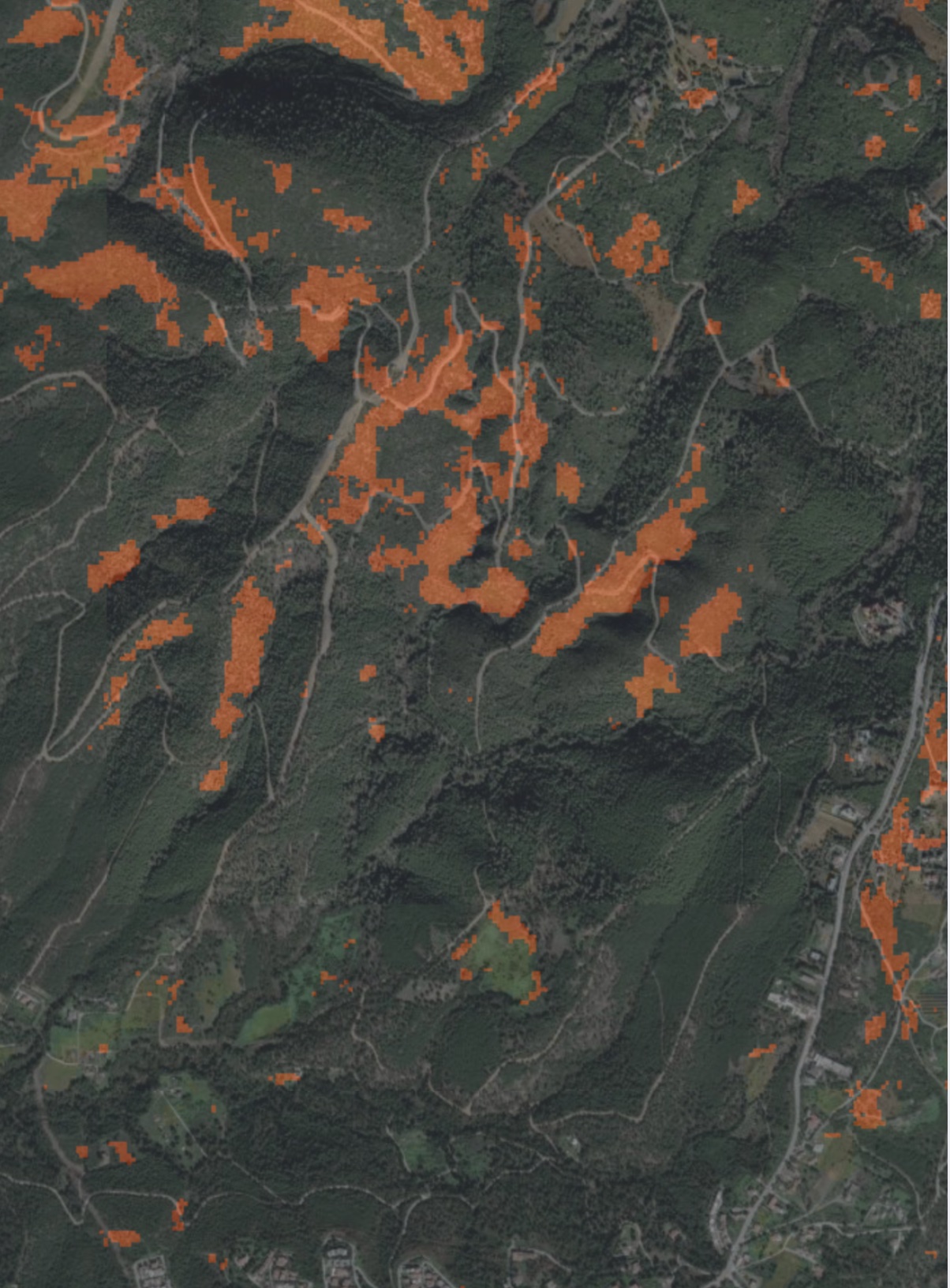
Maps rank areas by vegetation, terrain and assets, so patrols go to hotspots first.
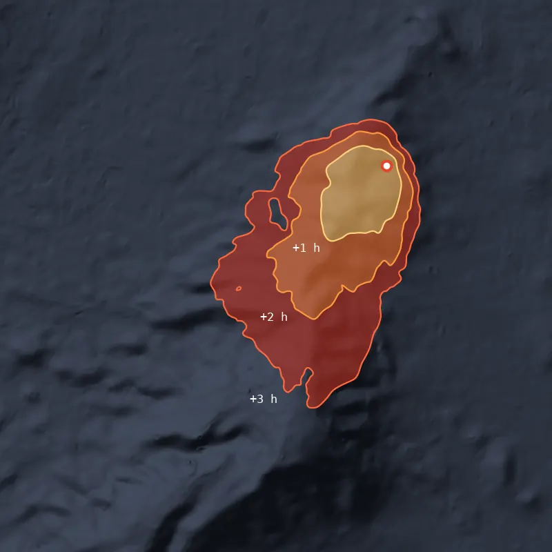
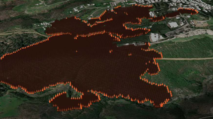
Risk maps and spread estimates that show crews where to act first.
Book a demoLive across Europe
Prioritise risk and plan interventions anywhere in Europe.
“Mantic covers every stage of our operational cycle. Before the fire season, scenario simulations assist us in planning evacuations and preparedness drills. During the fire season, daily risk maps allow us to focus patrols on high-risk areas, while live simulations, combined with our detection equipment, provide a timely assessment of the expected spread of any incident.”
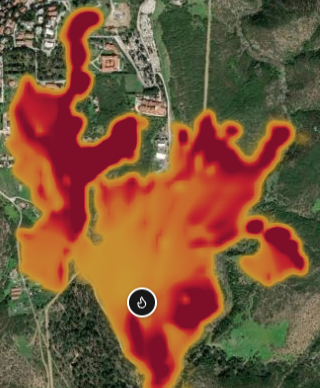
“Mantic enables us to accurately visualise risk for every settlement in the Municipality. During the Ano Peraia fire, first responders had an immediate view of the spread projections and the risk to critical infrastructure.”
“Simulation is the missing link between theory and practice. With Mantic, training sessions became far more realistic, and trainees could observe fire behaviour in a safe environment before facing it in the field.”
Mantic moves teams from emergency response to targeted prevention.
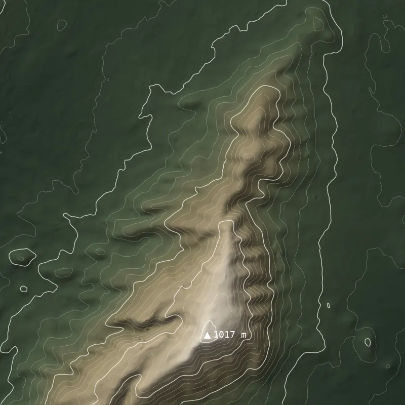
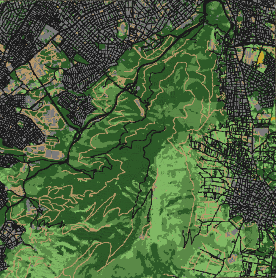
Mantic stacks terrain, fuel, weather and fire behaviour into one model, so every plan rests on the same ground truth.
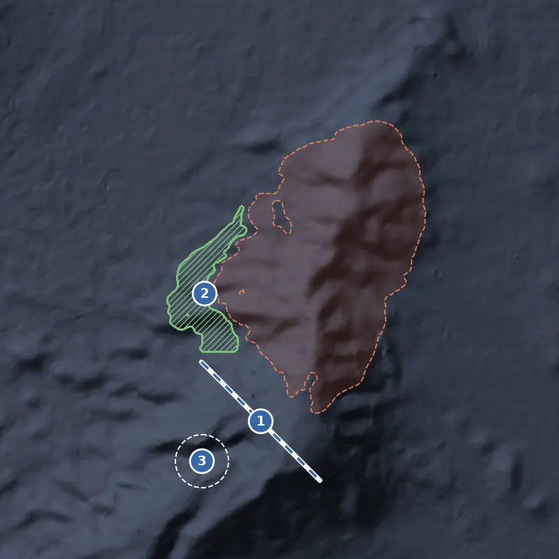
Rank risk, test interventions and compare plans in one workflow.
Maps rank areas by vegetation, terrain and assets, so patrols go to hotspots first.
See how weather and preventive measures change fire spread before you commit budget.
Compare scenarios side by side to plan each day of the fire season.
Designed for public sector & enterprise